Our Products
We empower modern agriculture with locally developed agricultural drones and mapping solutions using cutting-edge technology.
Agricultural Drone Solutions
Increase efficiency with smart agriculture technologies
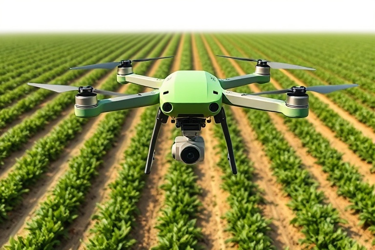
Agricultural Spray Drone
Performs spraying, fertilizing and seeding operations quickly and efficiently on large-scale fields. Can work 24/7 with 40L tank capacity and night flight capability.
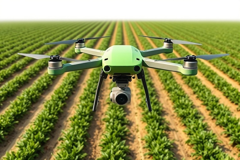
Smart Crop Monitoring Drone
Analyzes plant health with multispectral cameras. Creates drought, disease and yield maps. Prevents yield loss with early intervention.
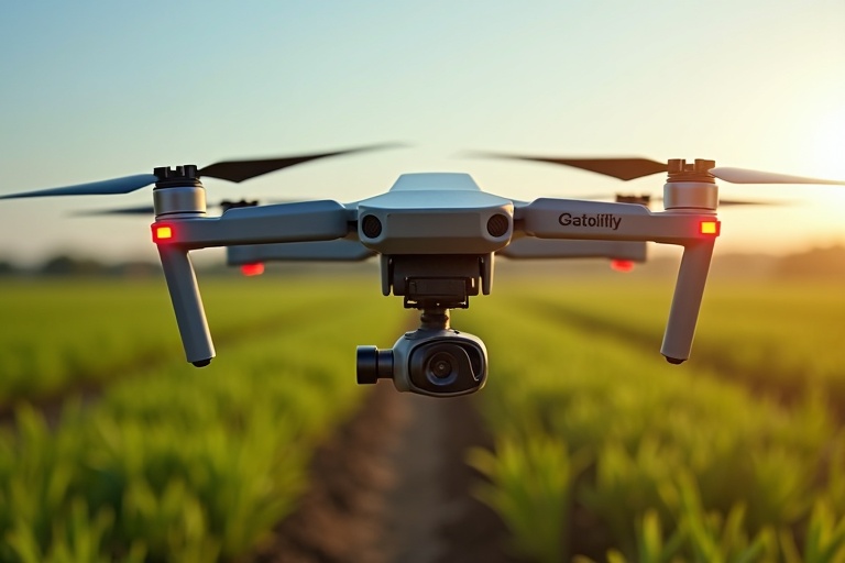
Soil Analysis Drone
Measures soil moisture, temperature and minerals with precision sensors. Determines the most suitable planting areas by creating soil maps.
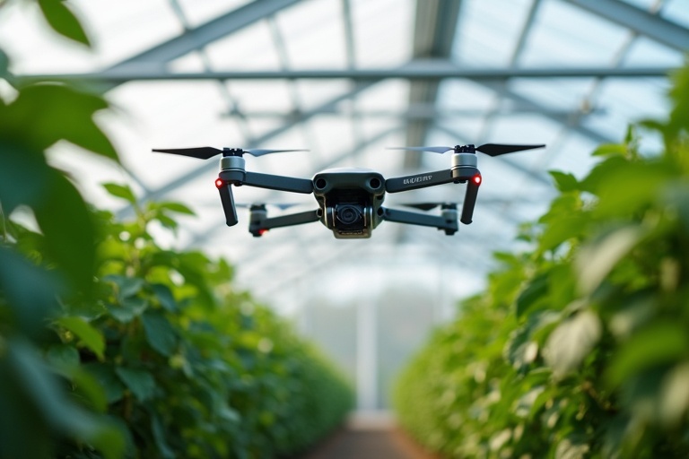
Greenhouse Drone
Monitors temperature, humidity and CO2 levels in enclosed greenhouse areas. Detects plant diseases early. Can perform automatic spraying and pollination.
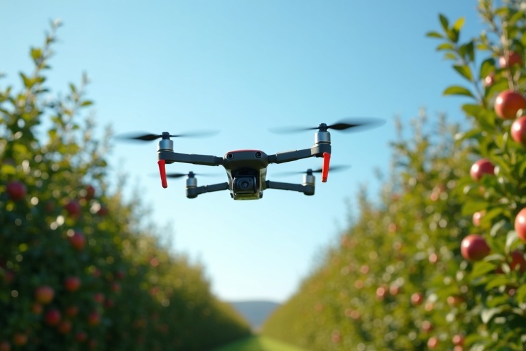
Orchard Drone
Performs high precision spraying customized for fruit trees. Detects tree height and leaf density to adjust optimal dosage.
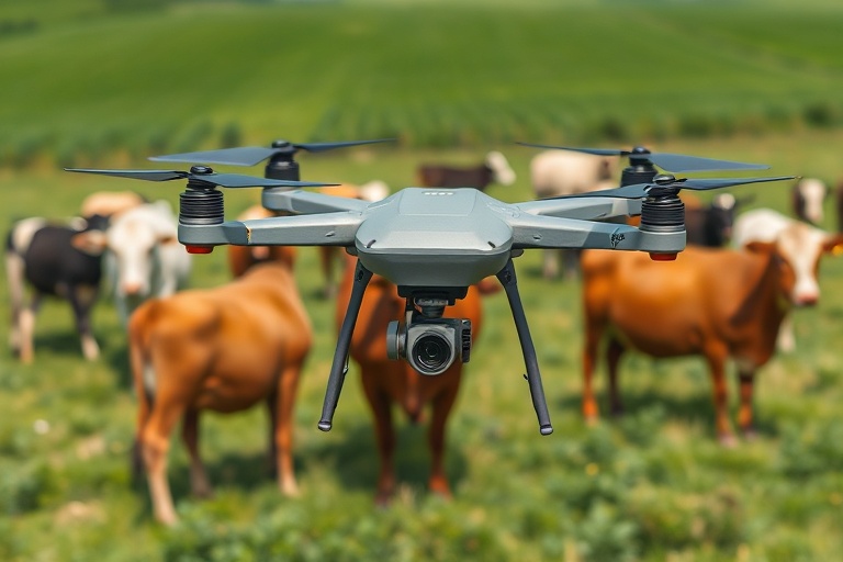
Livestock Drone
Monitors animal herds in pastures. Performs lost animal detection, herd counting and boundary control. Works at night with thermal camera.
Mapping Drone Solutions
High precision mapping and surveying systems
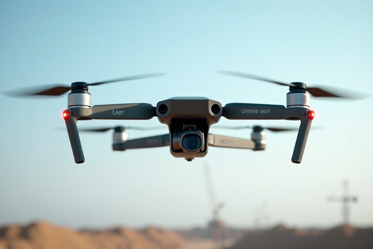
Lidar Mapping Drone
Creates centimeter-precision 3D terrain models with Lidar technology. Ideal for mining, construction and land surveying.
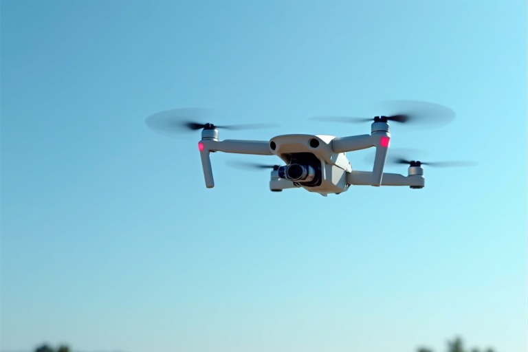
Photogrammetry Mapping Drone
Produces detailed orthophoto maps with high resolution cameras. Used for field, land and building measurement.
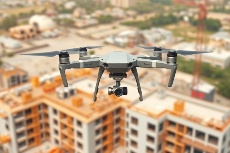
Construction Monitoring Drone
Regularly documents the progress of construction projects. Performs volume measurement, stock tracking and safety inspection.
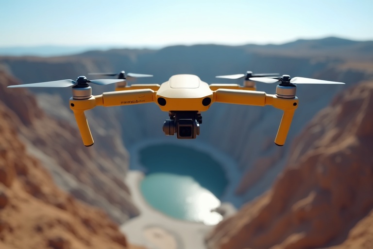
Mining Mapping Drone
Performs pre-blast terrain analysis, volume calculation and safety inspection in open pit mines. Can work in dusty environments.